


La Chapelle-Enchérie - Les Haies

guydu41
User


3h38
Difficulty : Medium

FREE GPS app for hiking
 SityTrail
IGN / Geographical institutes
SityTrail Plus
The world is yours!
About
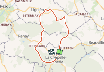
Trail Walking of 14.1 km to be discovered at Centre-Loire Valley, Loir-et-Cher, La Chapelle-Enchérie. This trail is proposed by guydu41.
Description
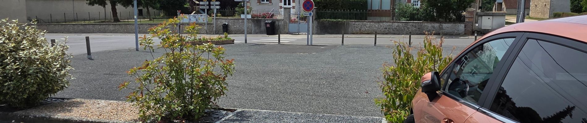
Ce parcours commence depuis le parking en face de la Mairie sur la D134, 41290 La Chapelle-Enchérie. Il suit globalement la trace d'un PR "Les Buis de Bricsard".
Après avoir admiré l'Eglise Saint-Sulpice, le circuit continu vers le Bois de Bricsard, le traverse en empruntant le Chemin de Grosse Pierre puis se dirige vers le hameau Champlain.
Ensuite il traverse une zone boisée mitoyenne entre le Bois de Renay et le Bois de l'Epinay pour se diriger vers le hameau "Les Haies" et revenir au point de départ.
Photos


21 photos in total. Please click on a photo to see them all in the gallery.
Positioning
Comments